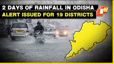
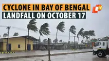
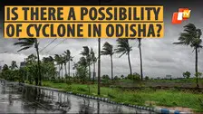
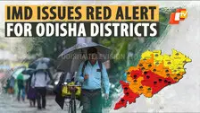
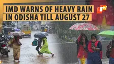
A low pressure area has formed over the East Equatorial Indian Ocean and adjoining Southeast Bay of Bengal. The India Meteorological Department (IMD) informed on Friday, that under the influence of the cyclonic circulation, a Low Pressure Area has formed over the same region.
Published: Odishatv Bureau
Last updated: 27 January 2023, 04:14 PM IST
As per IMD, thunderstorm with lightning is very likely to occur at one or two places over the districts of Bhadrak, Balasore, Kendrapada, Jajpur, Mayurbhanj, Keonjhar, Dhenkanal, Nuapada, Kalahandi, Nabarangpur, Rayagada, Koraput, Malkangiri and Cuttack in the next 24 hours.
Following sweltering heat over the last few days, different places in North, West and South Odisha witnessed intense to moderate thunderstorm activity.
The IMD has also issued orange and yellow warning for several districts.
The orange warning for thunderstorm with lightning and gusty surface wind with speed reaching up to 40-50kmph and hailstorm has been issued for the districts of Keonjhar, Jajpur, Angul, Dhenkanal, Cuttack, Jagatsinghpur, Nayagarh, Khordha, and Puri.
As per IMD, thunderstorm with lightning is very likely to occur at one or two places over the districts of Bhadrak, Balasore, Kendrapada, Jajpur, Mayurbhanj, Keonjhar, Dhenkanal, Nuapada, Kalahandi, Nabarangpur, Rayagada, Koraput, Malkangiri and Cuttack in the next 24 hours.
Following sweltering heat over the last few days, different places in North, West and South Odisha witnessed intense to moderate thunderstorm activity.