/odishatv/media/agency_attachments/2025/07/18/2025-07-18t114635091z-640x480-otv-eng-sukant-rout-1-2025-07-18-17-16-35.png)
/odishatv/media/member_avatars/2025/09/26/2025-09-26t140800004z-flagwe-2025-09-26-19-38-01.jpg )

/odishatv/media/post_attachments/uploadimage/library/16_9/16_9_0/recent_photo_1732594862.JPG)
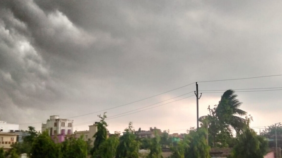
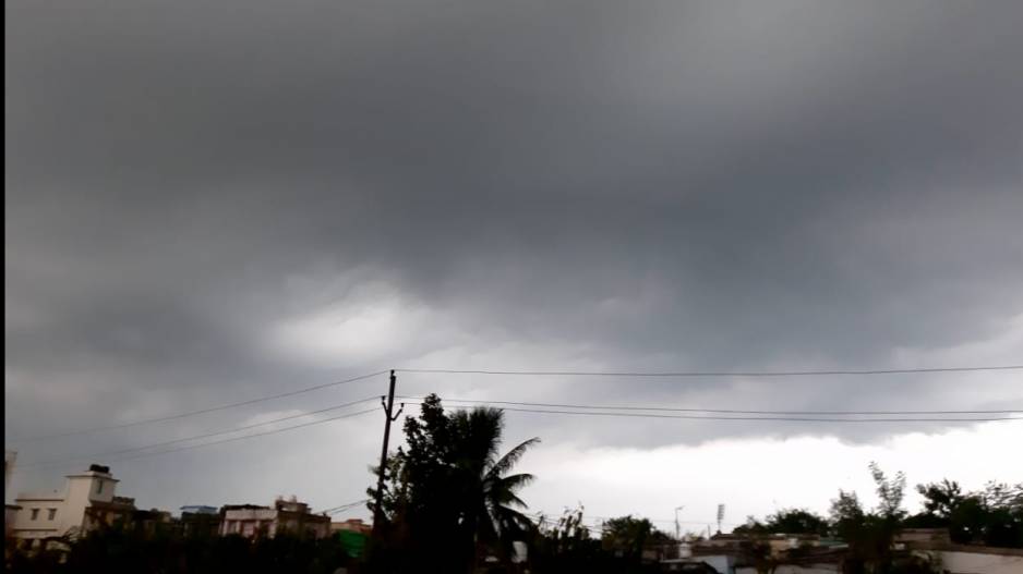
Kalbaisakhi to bring heavy rainfall today, severe thunderstorm alert issued for Odisha
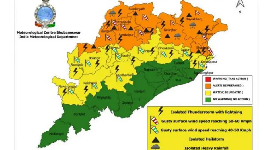
Odisha is on high alert today as a severe Kalbaisakhi (Nor’wester) storm is predicted to sweep across the state, bringing with it heavy rain and potential hailstorms. The Meteorological Department has issued warnings for thunderstorms and strong winds for a total of 30 districts.
An orange warning is active for 12 districts, signifying the possibility of intense weather conditions while a yellow warning is in place for another 18 districts, indicating a need for vigilance.
Heavy Rain and Hailstones Expected
In certain areas, the rainfall may be intense, with a chance of hailstones. For the following day, a yellow warning has been issued for 15 districts, forecasting light to moderate rainfall along with thunderstorms.
Also Read: Kalbaisakhi storm batters several Odisha districts, over 50 people injured
Impact of the Trough Line
The adverse weather is linked to a trough line that has developed over northwestern India, significantly affecting Odisha's climate. A trough line over northwest India is contributing to the increased likelihood of Kalbaisakhi storms in Odisha.
Forecasters indicate that this trough line is expected to cause temperatures to fall by 3 to 5 degrees Celsius over the coming three days. However, the Met Office predicts a gradual rise in temperatures from the 25th of the month onwards.
Precautions and Forecast:
In addition to today’s storm, light to moderate rain with thunderstorms is anticipated for tomorrow, affecting 15 districts which have been placed under a yellow warning. Residents have been advised to stay indoors as much as possible and to heed the warnings issued to minimize risk.
Cyclonic storms such as Kalbaisakhi are not uncommon in the region during this time of year and can lead to significant disruptions.
Kalbaisakhi storm batters several Odisha districts, over 50 people injured

Odisha to experience thunderstorms, lightning, and hail till March 23
Thunderstorm and hail to lash Odisha, IMD issues orange and yellow warning
X-band doppler weather radar likely to be set up in Bhubaneswar; entire radar coverage in India in next 2 to 3 years
/odishatv/media/media_files/2025/09/22/advertise-with-us-2025-09-22-12-54-26.jpeg)
